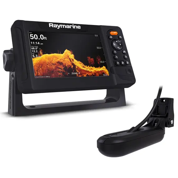
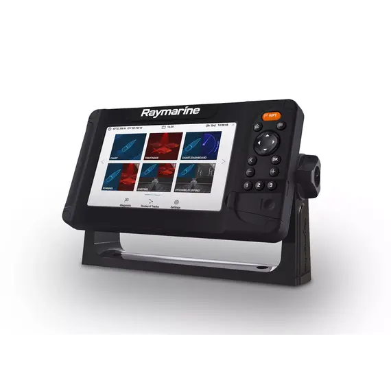
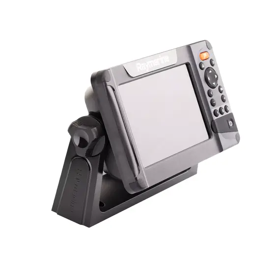
Raymarine has developed a line of marine sonar chartplotter functions specifically for amateur and professional anglers. Only the most essential equipment to locate the vessel, plot a course, track down schools of fish and individual fishes with great accuracy at different depths.
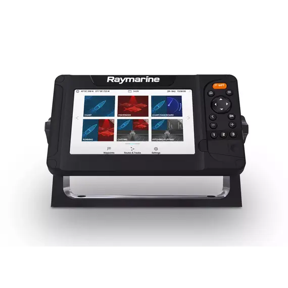
1. Use the best examples of navigation cartography from C-MAP and Navionics to navigate the terrain - the operating system supports C-MAP 4D, Navionics+, Navionics Platinum+, LightHouse Charts.
Maps are rendered in an operationally seamless manner with the ability to zoom without errors. You can overlay radar and sonar charts on the chart to pinpoint the position of boats and fish or other underwater objects.
2. If necessary, you can install a satellite navigation receiver as the display has a built-in GPS antenna.
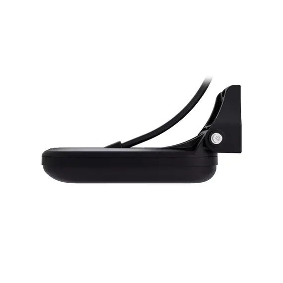
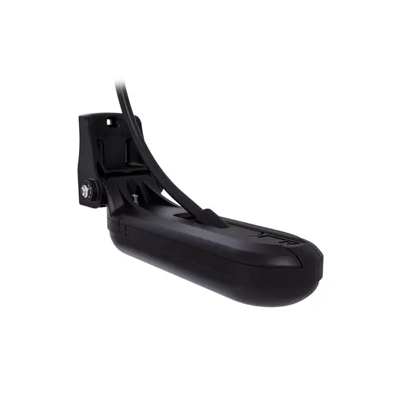
3. HV-100 transom transducer up to 1.2MHz combines the following technologies:
- RealVision 3D - provides a 3D image, creates a three-dimensional map of the passed locations;
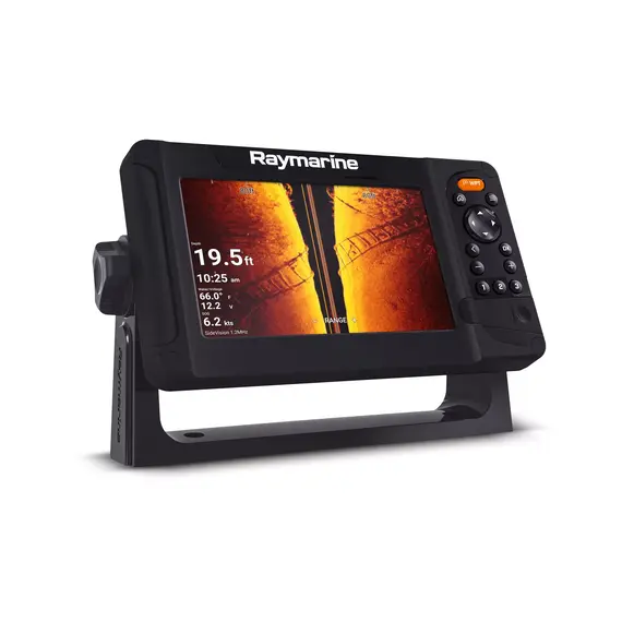
- SideVision - provides a side view of the underwater space;
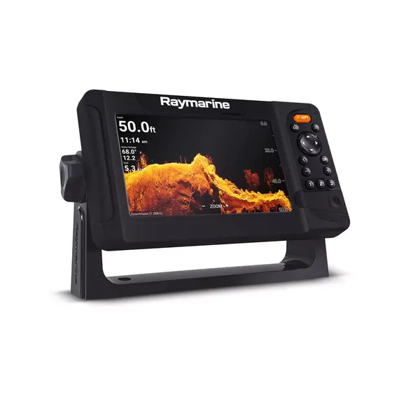
- DownVision - provides a realistic volume and high image quality, scans the area under the boat.
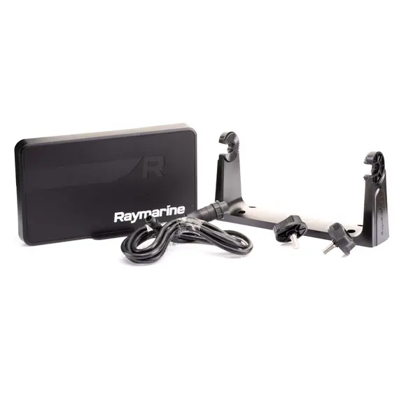
The open platform of the Element 7 HV HV-100 marine display provides the ability to expand its capabilities if necessary by purchasing compatible Raymarine navigation peripherals.
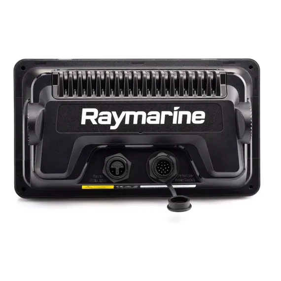
NMEA 0183 is a combined electrical and data specification for communication between marine electronics such as echo sounder, sonars, anemometer, gyrocompass, autopilot, GPS receivers and many other types of instruments.
Introducing Raymarine Element with Lifelike Sonar Imaging
All-in-one sonar provides you with incredible fishfinding features.
DQ Installing Raymarine Element HV on our boat / SONAR / GPS / Fish Finder
Detailed description of the Element HV installation process.
Raymarine Element 7 GPS/Sonar Unboxing @ Moose Marine
Unboxing of Element 7 unit with description of various elements.
Marine Electronics Guide 2020 - Raymarine Element HV
Overview of Lighthouse system and transducer, description of various features.
Raymarine Element 7" Mega Imaging HV100 (4 sonars in 1 screen) of Burke Lake underwater world
Test of Element 7-inch chartplotter on Burke Lake.
Raymarine Element 7HV GPS Fishfinder with Navionics Maps and HV-100 Transducer MDM530
New level of precision imaging in navigation and fishfinding.
Articles about Element 7 HV with Buttons & Hypervision Sonar and HV-100 Transducer
2022 Raymarine Element 7hv review by BoatSales
Raymarine Element Review: Is the HV the Most Slept on Fish Finder of All Time? by YourBassGuy
Raymarine Element Series Overview by SonarWars
No reviews found

