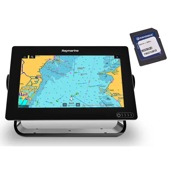
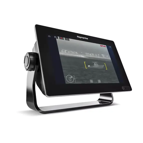
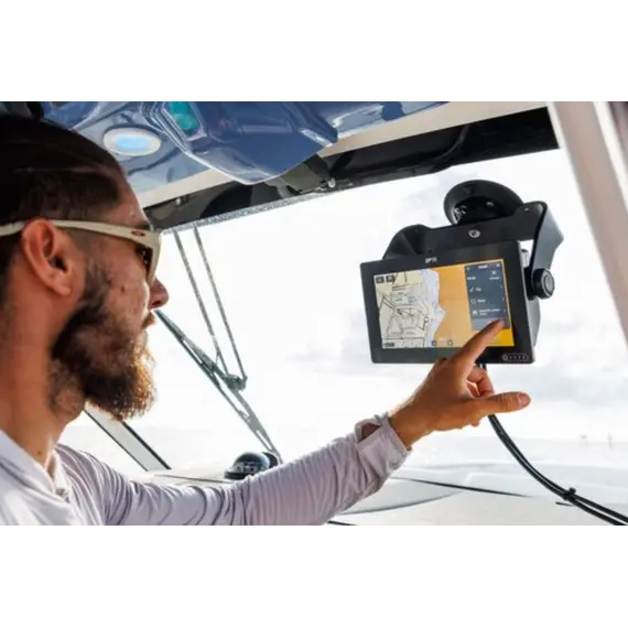
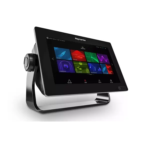
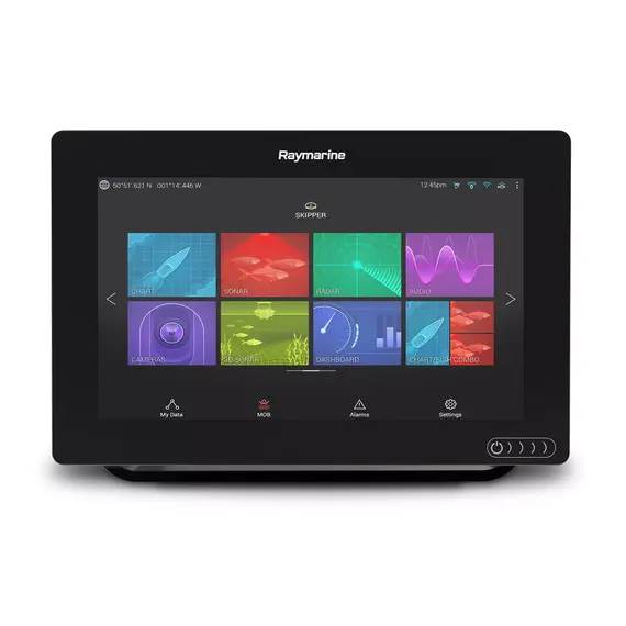
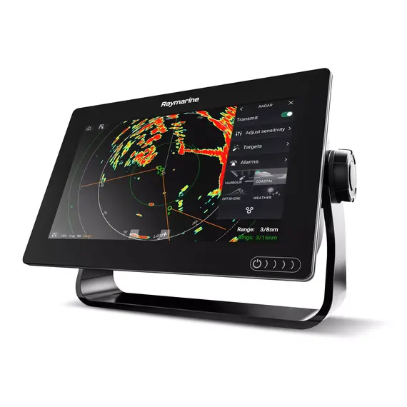
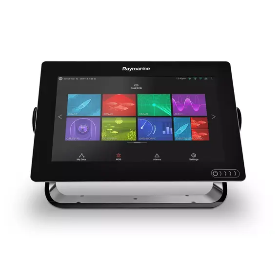
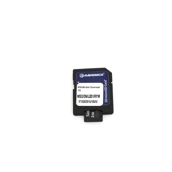
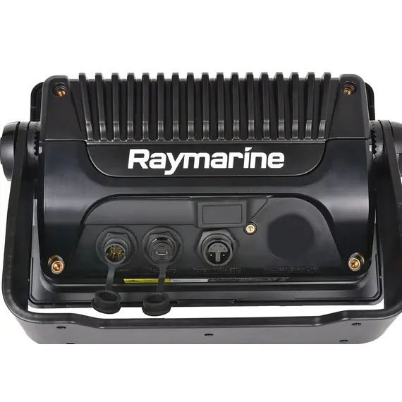
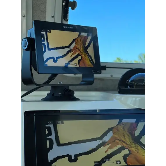
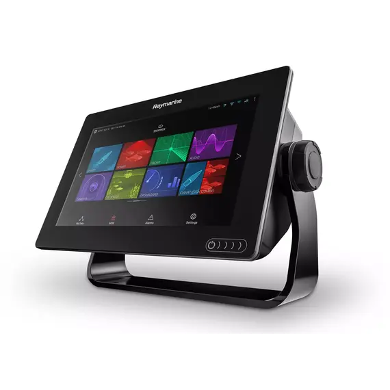
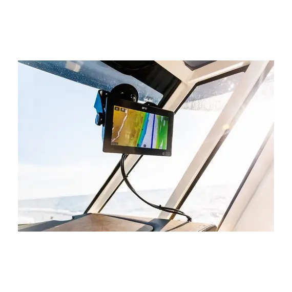
Raymarine chartplotter AXIOM 9 with Navionics+ SMALL chart ensures the safety of coastal navigation. To travel safely, the crew must have comprehensive information about all the details of the route. Such information is provided by the built-in 72-channel GPS/GLONASS receiver and Navionics+ small cards .
1. Functions performed by the GPS/GLONASS satellite navigation system receiver:
- receives and processes signals from satellites;
- calculates the location and speed of the ship's progress;
- determines the change in geolocation 10 times per second, which allows you to control the passage of the vessel along the route and correct deviations;
- visualizes detailed information regarding the course of the vessel;
- records the passage of the route in real time.
2. Functions performed by Navionics+ SMALL chart:
- displays a seamless precise map of the location of interest;
- indicates the plans of ports and other waypoints of the route;
- indicates coastal and floating aids to navigation - beacons, buoys, leading marks, etc.;
- informs in detail about fairways, depths, currents, tides.
Depth contours are shown in shades, aids to navigation are shown in clear contours and colors. Regardless of the zoom level, the maps are seamless, with perfect quality, providing easy to perceive information visualization. Zooming in for better detail does not create problems with coverage.
Significant increase of the safety of coastal navigation is a popular reason to buy a Raymarine marine chartplotter AXIOM 9 with Navionics+ SMALL chart.
NMEA 0183 is a combined electrical and data specification for communication between marine electronics such as echo sounder, sonars, anemometer, gyrocompass, autopilot, GPS receivers and many other types of instruments.
Articles about AXIOM 9 Touch with Navionics+ SMALL Chart Download
Raymarine AXIOM 9 by Reviewmarine
No reviews found


