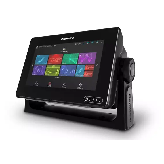
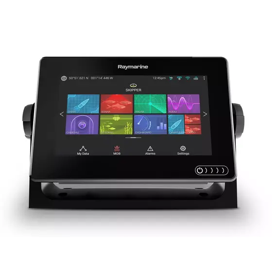
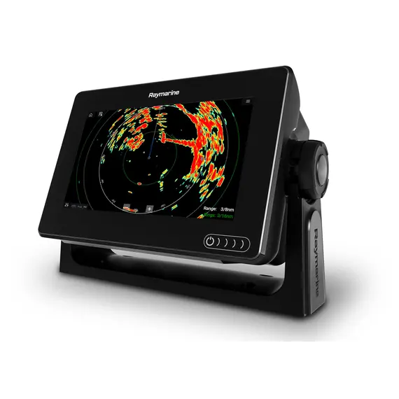
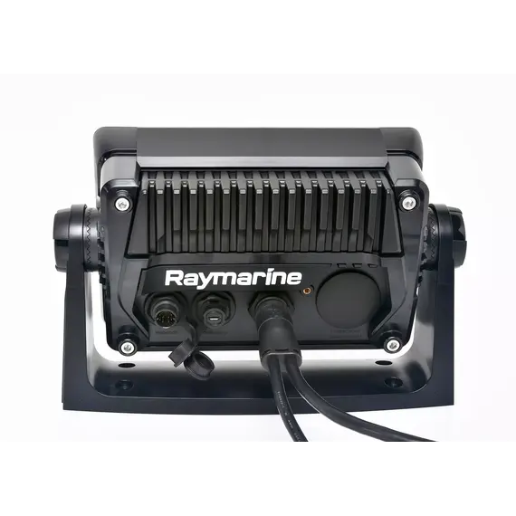
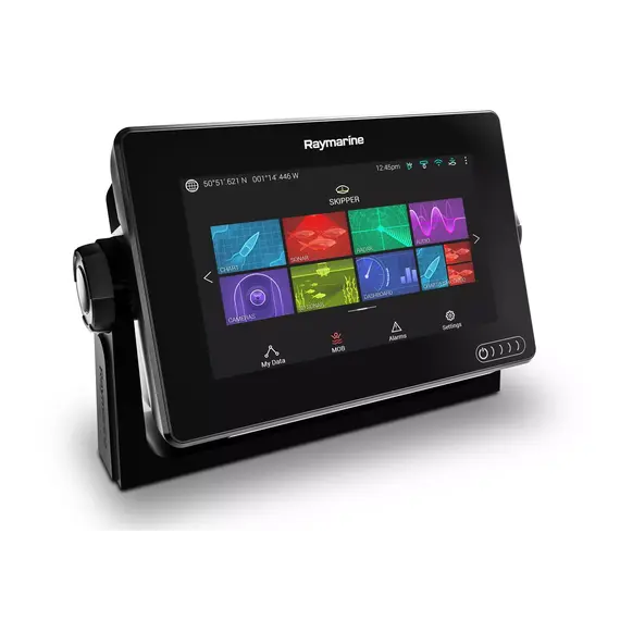
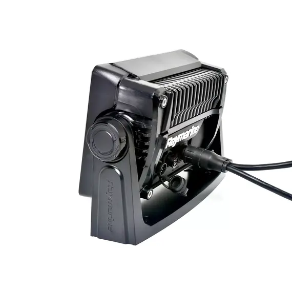
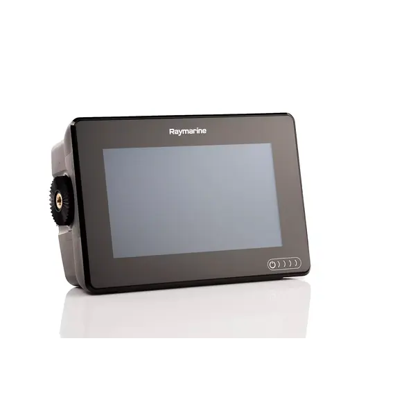
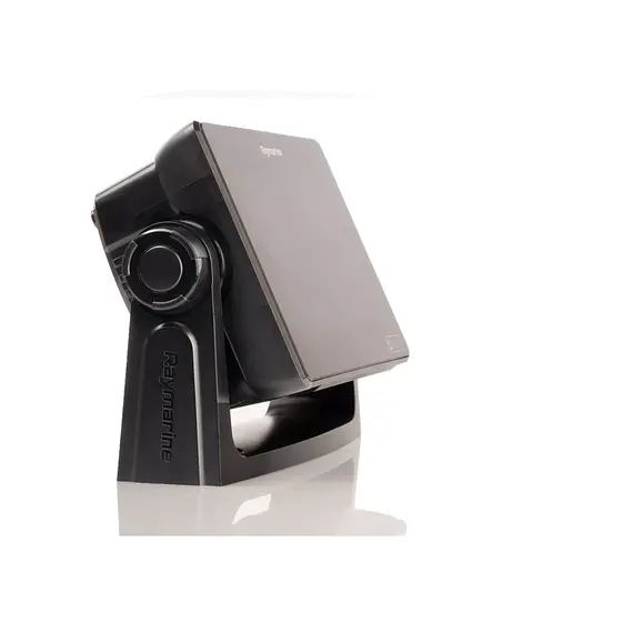
The high performance of a chartplotter is very important in coastal navigation, especially in difficult weather conditions. To accurately calculate, plot and control the route, quickly determine the location of the vessel at any time and figure out the distance to obstacles and shoals – all of those are necessary for the safety of the crew.
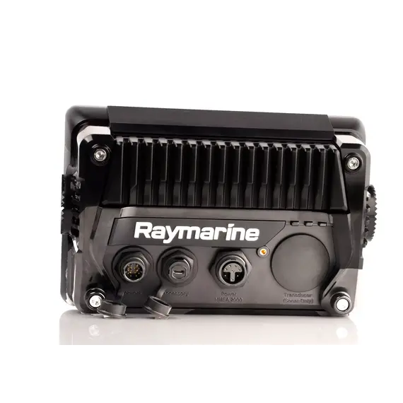
All these and many other functions are performed by the Raymarine AXIOM 7 marine display:
- it displays cartographic information on a full or split screen;
- using the data of the GNSS receiver, it determines the position of the vessel, displays navigational information, marks waypoints, builds navigation along the route, records the path of the vessel;
- compiling and displaying 3D maps in LightHouse and Navionics cartography mode;
- in the fishing mode chartplotter indicates the fish in real time, determines the distance to the flock;
- automatically changes the scale of depth and the range of its display;
- determines the bottom density, water temperature.
The built-in 10Hz GPS antenna updates information 10 times per second. The chartplotter can be controlled remotely via smartphone using Wi-Fi or Bluetooth.
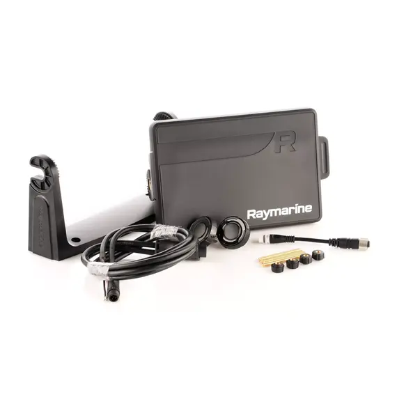
The AXIOM 7 navigation display is the base model with an expandable platform. You can buy Raymarine AXIOM 7 with additional Raymarine navigation equipment - sonars, transducers, transponder, etc. With this chartplotter you can make swimming safer and fishing incredibly exciting and successful.
NMEA 0183 is a combined electrical and data specification for communication between marine electronics such as echo sounder, sonars, anemometer, gyrocompass, autopilot, GPS receivers and many other types of instruments.
Articles about AXIOM 7 Touch
Raymarine AXIOM 7 by ReviewMarine
No reviews found


