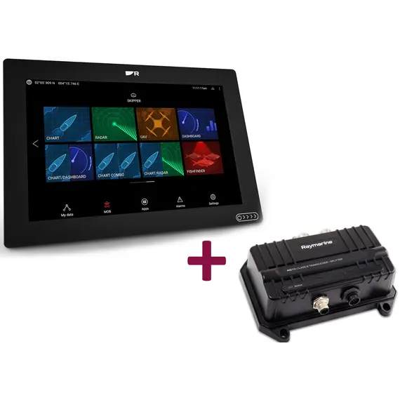
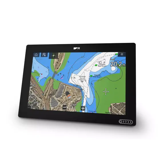
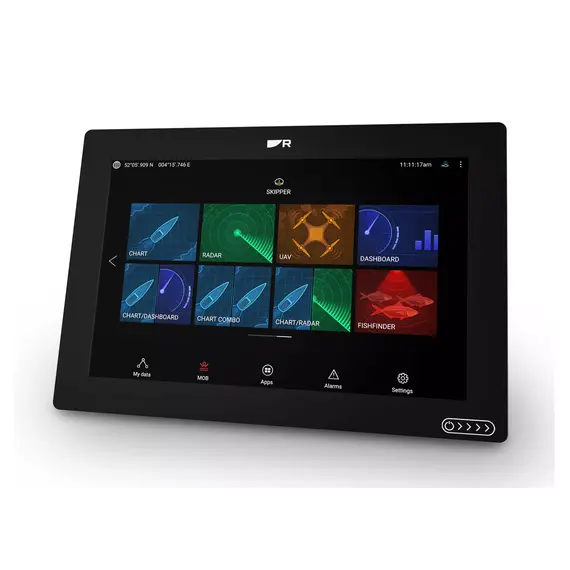
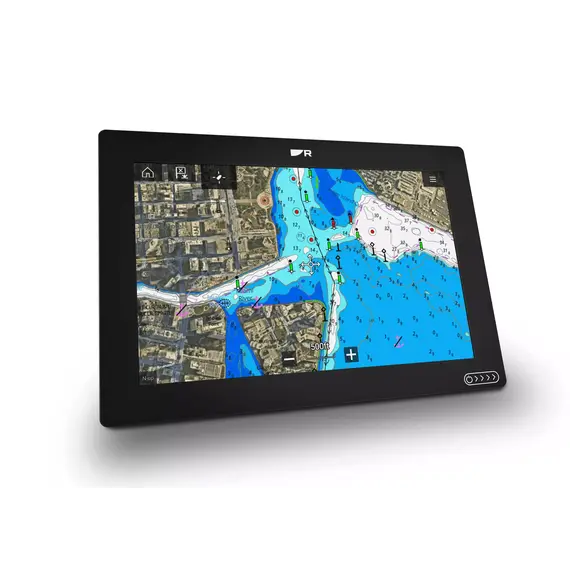
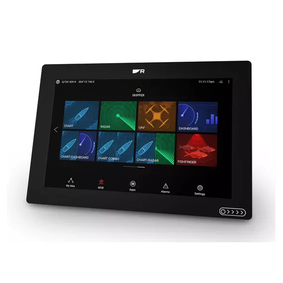
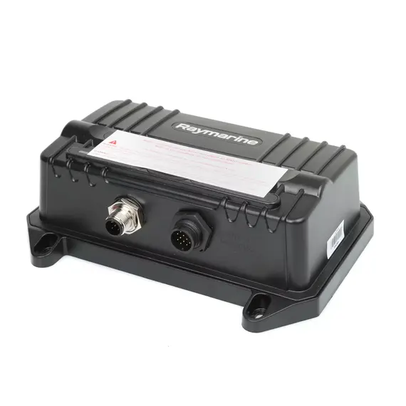
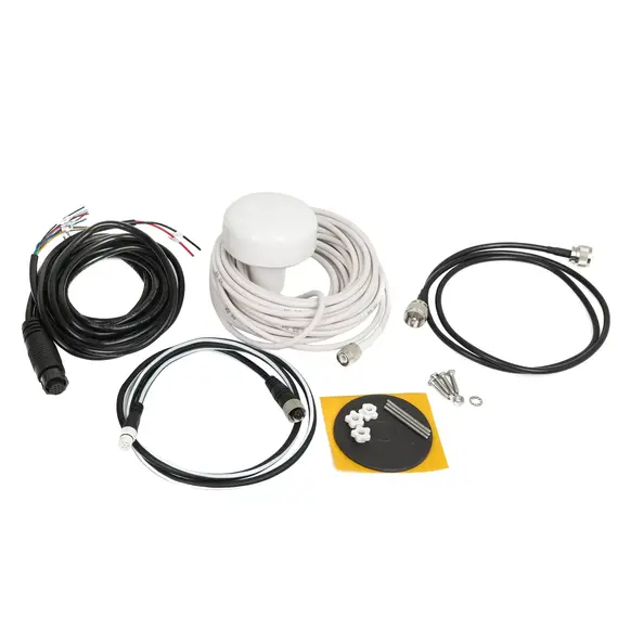
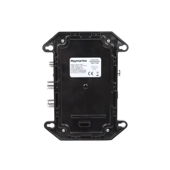
Safety of coastal navigation depends not only on the qualification of the team, but also on the availability of reliable maps and maximum information about the situation in the nearby water area. All these needs are fully met by the AXIOM+ 12 AIS 700 marine transceiver chartplotter.
- The functions of the chartplotter include laying and calculating the route with the provision of information about the water area, bottom topography and ports, fast output of seamless maps in the best C-MAP and Navionics cartography formats .
- LightHouse 3 operating system supports Lighthouse maps, day/night mode, allows you to adjust the light level and color palette.
- Up to 88% wider viewing angle from four sides enhances the realistic display of underwater space.
- High-performance GPS/GNSS provides accurate vessel positioning with a 4x increase in sensitivity .
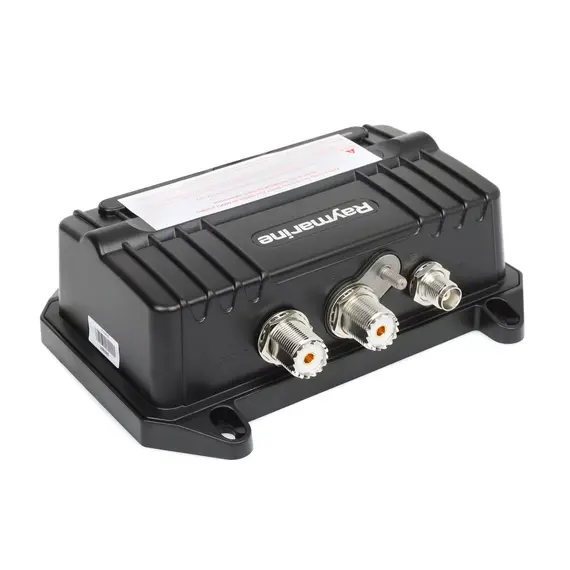
- Technologies and modes of the AIS 700 transceiver allow you to transmit and receive data on the situation in the surrounding area, increase the signal, limit or cancel the transmission of data on the position of your vessel.
Of no small importance in a difficult situation at sea is the ability to quickly issue a command to the on-board computer and quickly receive feedback. The impact-resistant screen of the AXIOM+ 12 AIS 700 display is also protected by a nano-coating. Due to this, the speed of interaction does not depend on the ingress of water, technical oils or other contaminants onto the screen, including the user's fingers.
Raymarine navigation display AXIOM+ 12 AIS 700 is the optimal combination of cost and functionality to ensure the safety of coastal navigation.
NMEA 0183 is a combined electrical and data specification for communication between marine electronics such as echo sounder, sonars, anemometer, gyrocompass, autopilot, GPS receivers and many other types of instruments.
Articles about AXIOM+ 12 Touch with AIS 700
Axiom 12 multi-function display review by Fishing World
Raymarine Axiom 12 Review: Is It Worth All the Hype? by OneFish
No reviews found


