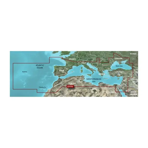
BlueChart g3 Vision - VEU723L - Southern Europe Charts

The price provided is NET-price, meaning shipment and VAT are not included. Additional duties and tax payments might be required. Taxes and delivery costs are calculated after ordering the goods and depend on the type of client and delivery address.
Immerse yourself in unparalleled coverage and exceptional detail during your aquatic adventures. BlueChart g3 Vision coastal charts offer industry-
leading breadth, clarity, and intricacy, incorporating integrated content from Garmin and Navionics.
Employing Auto Guidance technology, this solution rapidly computes a suggested route based on your desired depth and overhead clearance.
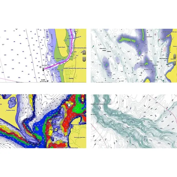
The remarkable shading feature seamlessly merges color and shadow, providing an easily interpretable depiction of the bottom profile. This facilitates
the effortless discovery of artificial reefs, underwater shelves, and other submerged features. Additionally, you can obtain high-resolution relief
shading by downloading the feature via the ActiveCaptain app, at no cost.
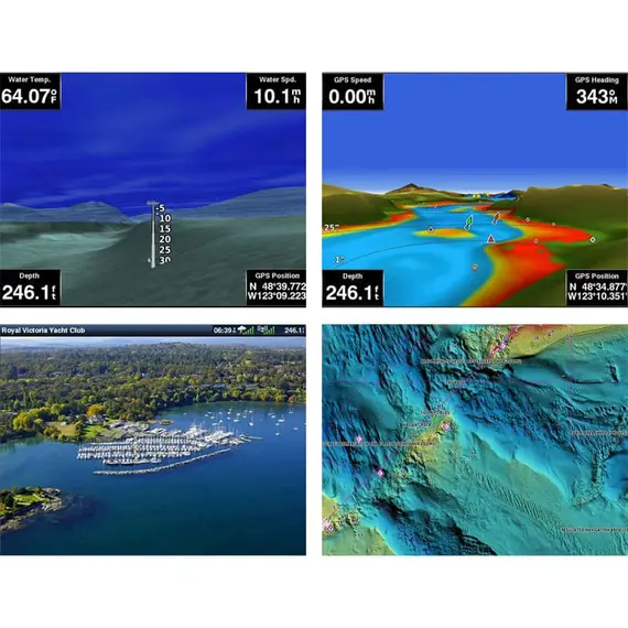
With the FishEye underwater perspective, you gain a three-dimensional representation of the bottom and contours, as observed from beneath the
waterline. This interface allows for customization by integrating sonar data, delivering a tailored view.
The MarinerEye view presents a comprehensive three-dimensional portrayal of the surrounding area, encompassing both the space above and below the
waterline.
Experience the fusion of high-resolution satellite imagery with overlaid navigational charts, providing a realistic visual representation of your
environment. This chartplotter display epitomizes realism, rendering it ideal for navigating unfamiliar harbors or ports.
Please, check detailed feature compatibility for your chartplotter.
No reviews found


