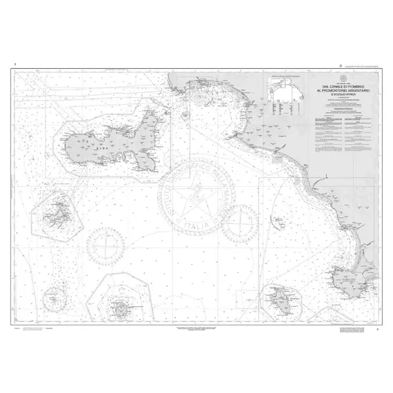
School Map - From Piombino Channel to Promontorio Argentario and Scoglio Africa
100005D

Nautical marketplace, yacht charter agency, equipment supplier, new yachts sales, brok...
+37253060890
Ask a question
Contact
Taxes
The price provided is NET-price, meaning shipment and VAT are not included. Additional duties and tax payments might be required. Taxes and delivery costs are calculated after ordering the goods and depend on the type of client and delivery address.
Delivery
Returns
Remarkable nautical chart created by the Hydrographic Institute of the Navy. Made for schools, this exceptional chart boasts high-quality paper and impressive dimensions of 116 x 83 cm. With a comprehensive map scale of 1:100,000, it offers intricate details for learning purposes.
Please be aware that this chart is solely intended for educational activities and should not be utilized for navigation.
Dimensions, cm
116x83
Scale
1:100000
Card number
5/D
Brand
ISTITUTO IDROGRAFICO
Dimensions in packaging
Weight, kg
0.13
Height, mm
1.0
Width, mm
768.0
Length, mm
1138.0
Volume, cm3
0.87
Unit type
N
Additional Information
MPN
5D
No reviews found
Please sign in so that we can notify you about a reply


