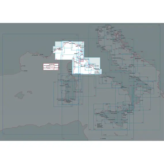
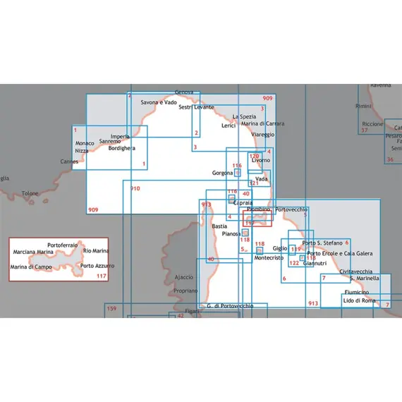
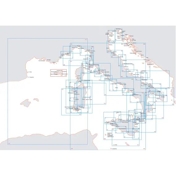
Nautical Chart - From Nice to Piombino Coasts of France and Italy
100909

Nautical marketplace, yacht charter agency, equipment supplier, new yachts sales, brok...
+37253060890
Ask a question
Contact
Taxes
The price provided is NET-price, meaning shipment and VAT are not included. Additional duties and tax payments might be required. Taxes and delivery costs are calculated after ordering the goods and depend on the type of client and delivery address.
Delivery
Returns
BrandISTITUTO IDROGRAFICO
RegionLigurian sea and central-northern Tyrrhenian sea
Card number909 INT3300
Shipping fromItaly
Meticulously detailed nautical chart from the Hydrographic Institute of the Navy. This chart, carefully scaled at 1:250,000, offers comprehensive navigational information.
Measuring 116 x 83 cm, it is printed on high-quality paper, ensuring durability and clarity.
Immerse yourself in maritime exploration with this reliable chart.
Dimensions, cm
116x83
Region
Ligurian sea and central-northern Tyrrhenian sea
Scale
1:250000
Card number
909 INT3300
Brand
ISTITUTO IDROGRAFICO
EAN
8054806410916
Dimensions in packaging
Weight, kg
0.13
Height, mm
1.0
Width, mm
750.0
Length, mm
1137.0
Volume, cm3
0.85
Unit type
N
Additional Information
MPN
909
No reviews found
Please sign in so that we can notify you about a reply


