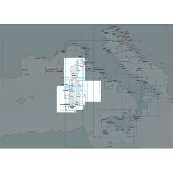
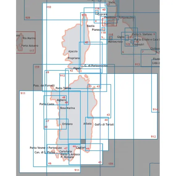
Nautical Chart - From Olbia to Capo Di Monte Santu
100043

Nautical marketplace, yacht charter agency, equipment supplier, new yachts sales, brok...
+37253060890
Ask a question
Contact
Taxes
The price provided is NET-price, meaning shipment and VAT are not included. Additional duties and tax payments might be required. Taxes and delivery costs are calculated after ordering the goods and depend on the type of client and delivery address.
Delivery
Returns
Meticulously detailed nautical chart from the Hydrographic Institute of the Navy. This chart, carefully scaled at 1:100,000, offers comprehensive navigational information.
Measuring 116 x 83 cm, it is printed on high-quality paper, ensuring durability and clarity.
Immerse yourself in maritime exploration with this reliable chart.
Dimensions, cm
116x83
Region
Corsica and Sardinia
Scale
1:100000
Card number
43
Brand
ISTITUTO IDROGRAFICO
EAN
8054806410640
Dimensions in packaging
Weight, kg
0.13
Height, mm
1.0
Width, mm
750.0
Length, mm
1137.0
Volume, cm3
0.85
Unit type
N
Additional Information
MPN
43
No reviews found
Please sign in so that we can notify you about a reply


