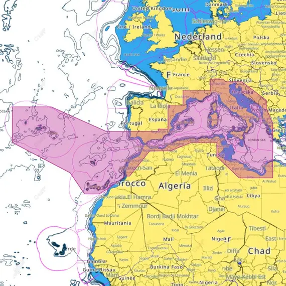
C-MAP REVEAL - South-West European Coasts

The price provided is NET-price, meaning shipment and VAT are not included. Additional duties and tax payments might be required. Taxes and delivery costs are calculated after ordering the goods and depend on the type of client and delivery address.
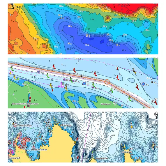
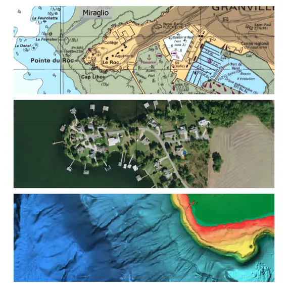
Experience the unparalleled capabilities of REVEAL™ charts, incorporating the finest elements of C-MAP. Discover the groundbreaking Shaded Relief, offering a novel perspective of the world above and below, available universally. Embrace the captivating 3D portrayal of the land and underwater elevations, including exclusive areas of Ultra-High Bathymetric imagery, a true game-changer for divers and anglers, formerly limited to MAX-N+ Reveal.
Benefit from Full Featured Vector charts, sourced from official Hydrographic Office data, ensuring precise and up-to-date navigation details. High-resolution bathymetry provides accurate contour lines, exposing shallow regions, drop-offs, and more, down to a remarkable 1-foot level. Unveil the best of C-MAP HRB data, encompassing C-MAP Team Lake Surveys and Genesis® social maps, flawlessly integrated and quality controlled.
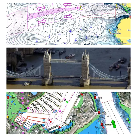
Custom Depth Shading empowers you to personalize safety depth settings and viewing preferences. Satellite imagery enriches navigation in unfamiliar locations, while a vast collection of marina, harbor, and inlet photos elevate navigational precision.
Enjoy the familiarity of traditional charts alongside easy access to chart objects. With C-MAP, experience subscription-free Easy Routing, automatically plotting the safest and shortest course based on your vessel information.
Stay informed with Tides & Currents projections, aiding your plans for cruising, angling, or sailing. Dock with ease in unknown ports using precise layouts of thousands of marinas, inclusive of slip spaces, restricted zones, and essential navigation data.
No reviews found


