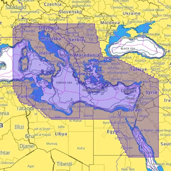
C-MAP REVEAL X - East Mediterranean

The price provided is NET-price, meaning shipment and VAT are not included. Additional duties and tax payments might be required. Taxes and delivery costs are calculated after ordering the goods and depend on the type of client and delivery address.
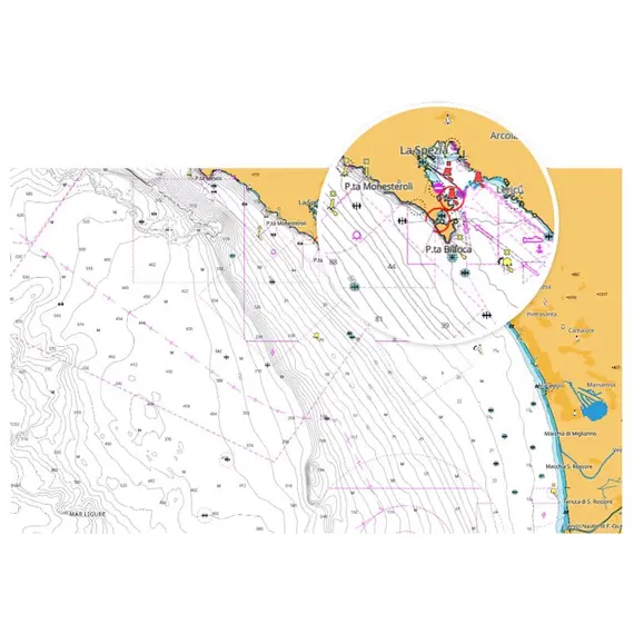
Experience the ultimate chart data accessibility with the C-MAP X range, providing dynamic and uncluttered views at all zoom levels. Boasting exceptional Day & Night modes and high-resolution Bathymetry, along with the innovative Map Inspector Tool, REVEAL™ X ensures seamless integration with C-MAP®-powered Simrad® and B&G® Companion Apps.
Gain access to an extensive array of functionalities, such as Custom Depth Shading, Tides & Currents integration, and an Autorouting service without the need for a subscription, all accompanied by a 1-year duration of continuous online updates. REVEAL™ X elevates your on-water journeys, introducing additional layers such as Shaded Relief and Satellite Overlay.
Embrace the novel navigation experience with the latest C-MAP® data, equipped with essential features for safe and stress-free trips, day or night, in any weather conditions.
Enjoy unprecedented clarity and intuition in navigation, thanks to new tools, improved Autorouting, and best-in-class Day and Night modes.
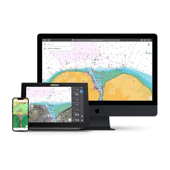
Seamlessly integrate with Simrad® and B&G® Companion Apps, synchronizing chart experiences across your devices without subscription fees.
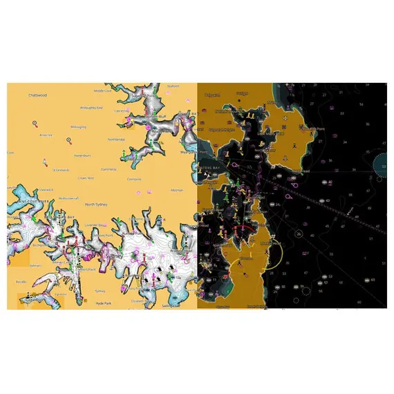
Benefit from new visibility modes designed for optimal use in diverse lighting and weather conditions, ensuring safe and effortless navigation.
Navigate with confidence using precise vector chart details from official sources, including hydrographic offices.
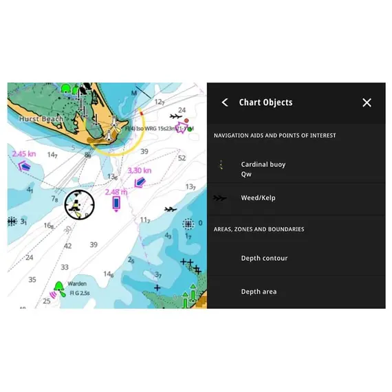
Access essential information, like locations, POIs, tides, and channels, with a simple touch of the screen, enhancing situational awareness.
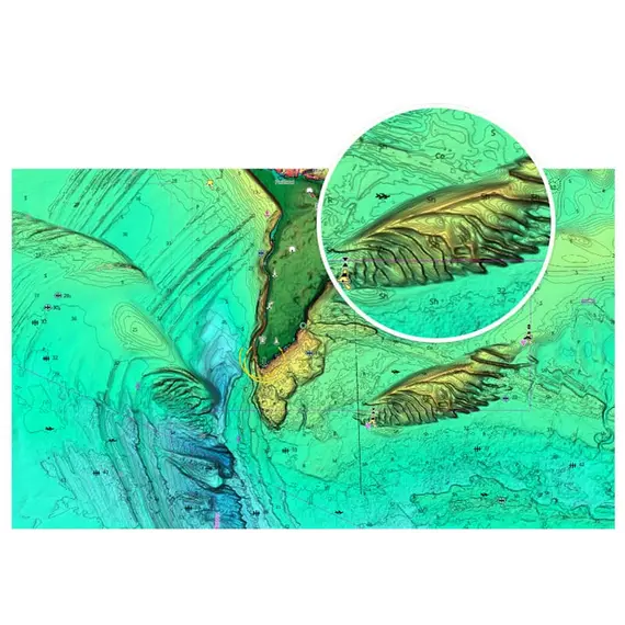
Elevate your fishing endeavors with game-changing REVEAL™ Shaded Relief and Satellite Overlay layers, bringing the surrounding world to life with 3D rendered land and underwater elevation, including Ultra-High-Res Bathymetric imagery for anglers and divers.
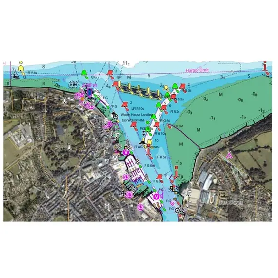
Maximize situational awareness in unfamiliar areas with Satellite imagery, enhancing water safety.
No reviews found


