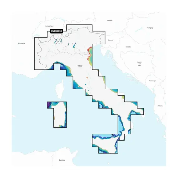
Garmin Navionics Vision+ - NVEU073R - Italy, Lakes & Rivers Charts

The price provided is NET-price, meaning shipment and VAT are not included. Additional duties and tax payments might be required. Taxes and delivery costs are calculated after ordering the goods and depend on the type of client and delivery address.
Access comprehensive mapping of coastal features, lakes, rivers, and other geographical elements. The integration of Garmin and Navionics content ensures global coverage for boaters.
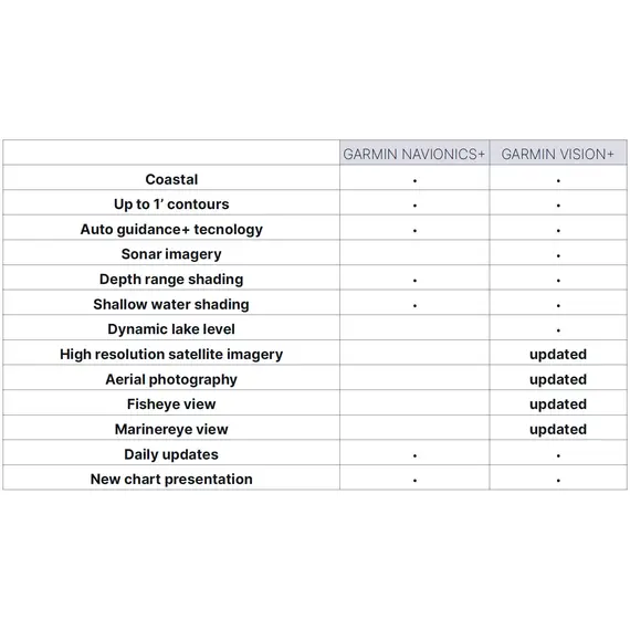
The charts undergo continuous enhancement, with as many as 5,000 updates implemented daily. With the one-year subscription included, you can conveniently access daily chart updates through the ActiveCaptain app.
By leveraging the sophisticated routing functionalities of Garmin and Navionics, the integrated Auto Guidance+ technology provides you with recommended routes from one dock to another, encompassing various navigational features like channels, inlets, marina entrances, and other relevant points.
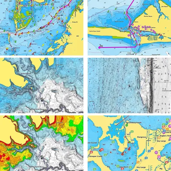
Benefit from high-resolution depth range shading, offering a selection of up to 10 color-shaded options. Instantly identify your desired target depths with ease.
For enhanced fishing and navigation experiences, a detailed bottom structure is depicted through up to 1' contours. This provides improved fishing charts and heightened detail in areas like swamps, canals, harbors, marinas, and beyond.
A user-defined depth shading feature enables clear identification of shallow waters to avoid any navigational hazards.
Leverage community-sourced content for invaluable points of interest (POIs) including marinas, anchorages, hazards, businesses, and more. Gain recommendations from experienced boaters with first-hand knowledge of the local environment.
The feature of High-resolution Relief Shading integrates color and shadow elements to offer a comprehensible and enhanced depiction of the underlying structure, surpassing the information provided solely by contour lines.
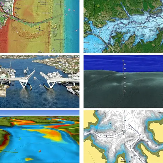
Enhance your situational awareness with the availability of downloadable high-resolution satellite imagery, delivering a superior understanding of your surroundings.
Obtain precise visual references above the waterline through crystal-clear aerial and surface photos capturing ports, marinas, bridges, docks, boat ramps, dams, and navigational landmarks.
Experience an exclusive underwater viewpoint with the 3D Fisheye View, which showcases a three-dimensional portrayal of the underwater landscape and shapes as seen from below the water's surface.
Seamlessly combine this view with sonar data for a customized and personalized experience.
Immerse yourself in the comprehensive 3D Marinereye View, providing a detailed representation of the surrounding area both above and below the waterline.
Stay informed about the changing water levels with the Dynamic Lake Level feature, allowing you to adjust your maps accordingly. Determine the accessibility or depth limitations of specific spots for exploration.
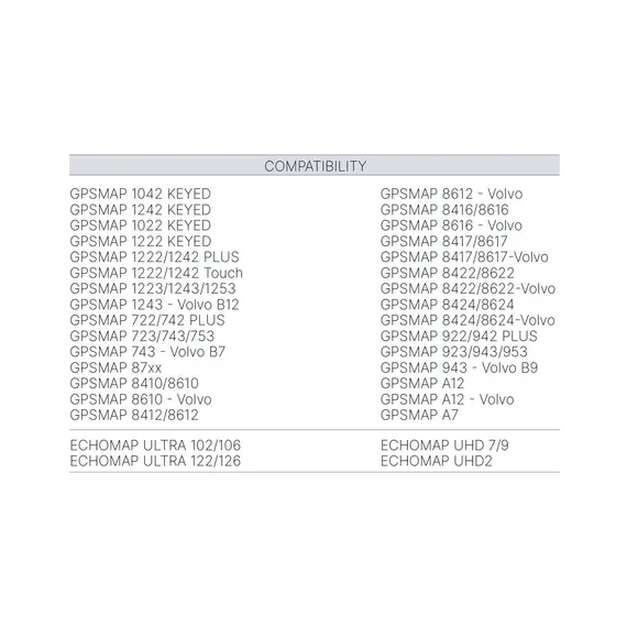
Please, check detailed feature compatibility for your chartplotter.
لم يتم العثور على أي تقييمات


