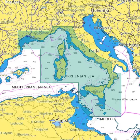
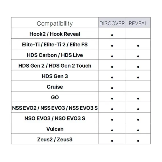
C-MAP DISCOVER - Tyrrhenian Sea and Central Mediterranean

The price provided is NET-price, meaning shipment and VAT are not included. Additional duties and tax payments might be required. Taxes and delivery costs are calculated after ordering the goods and depend on the type of client and delivery address.
C-MAP Discover™ сharts offers comprehensive features to enhance your water-based activities. Equipped with full-featured Vector Charts, incorporating High-Res Bathy, and integrated Genesis® social data, these charts provide valuable insights without any subscriptions needed. The Vector charts ensure precise navigation, presenting accurate and updated details sourced from official Hydrographic Offices.
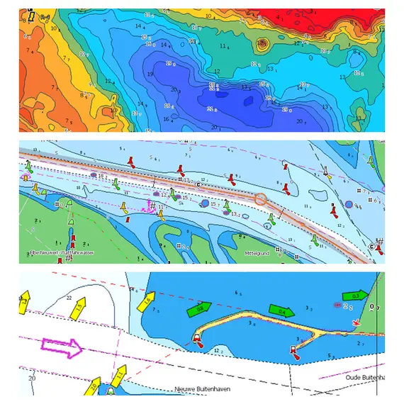
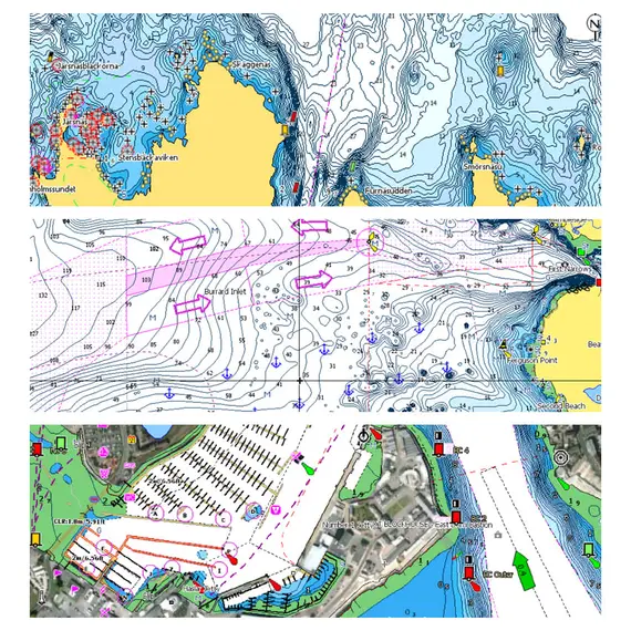
The High-Res Bathymetry (HRB) Layer offers unparalleled depth information, displaying contour lines down to a 1-foot level, and aiding in identifying shallow areas, ledges, and drop-offs. This comprises high-quality C-MAP HRB (High-Resolution Bathymetry) data, which incorporates C-MAP Team Lake Surveys (available for the United States only) and Genesis® social maps. These datasets are meticulously integrated and subjected to stringent quality control processes.
Custom Depth Shading allows you to personalize your view, setting safety depths or creating custom shading, ensuring a tailored experience.
Easy Routing simplifies route planning, automatically charting the shortest and safest paths based on precise chart data and vessel specifications, all without any subscriptions.
Stay informed with Tides & Currents projections, assisting in scheduling activities like cruising, angling, or sailing.
With detailed layouts of numerous marinas, including slip spaces and restricted areas, docking in unfamiliar ports becomes hassle-free, thanks to Discover™ сharts.
لم يتم العثور على أي تقييمات


