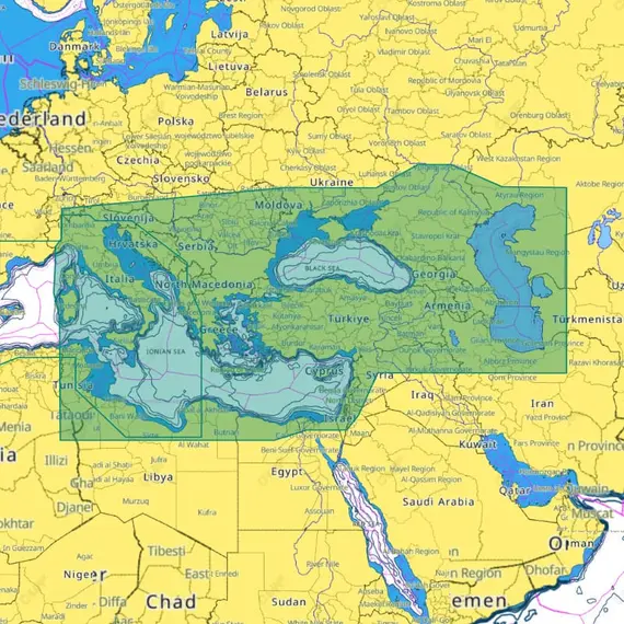
C-MAP 4D - East Mediterranean, Black and Caspian Seas

The price provided is NET-price, meaning shipment and VAT are not included. Additional duties and tax payments might be required. Taxes and delivery costs are calculated after ordering the goods and depend on the type of client and delivery address.
C-MAP 4D is an advanced navigation solution that combines vector chart data with dynamic raster charts, offering both 2D and 3D viewing capabilities. It provides accurate and up-to-date information derived from official hydrographic offices, facilitating easy navigation with full-featured vector charts.
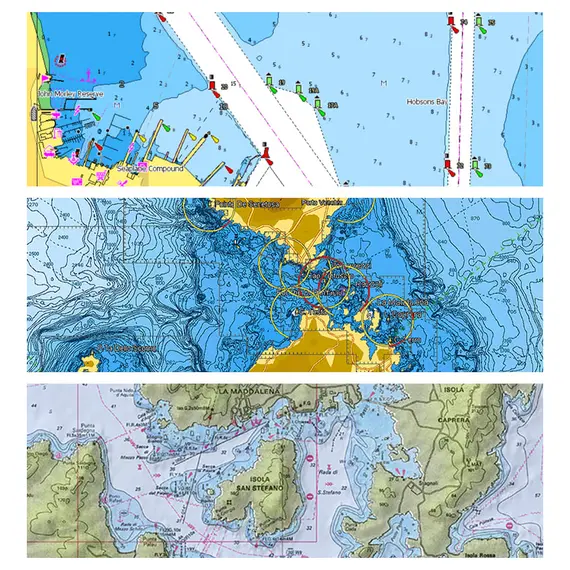
For angling or sailing, the Tides & Currents feature displays water level projections and tide directions. The high-resolution bathymetry layer aids in identifying shallow areas, drop-offs, ledges, holes, or humps. Raster Charts offer a traditional chart appearance with accessible object information.
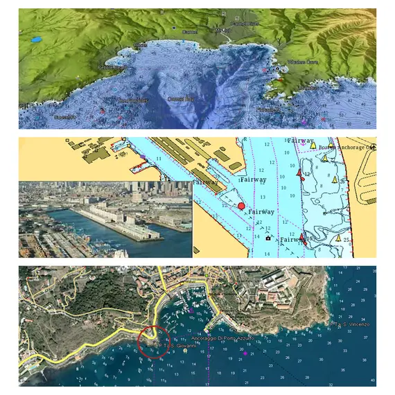
Immerse yourself with stunning 3D views of land elevation and bottom contours, and access thousands of Aerial Photos showcasing marinas, harbors, and inlets.
Benefit from high-resolution satellite imagery, enhancing coastal navigation situational awareness. The Easy Routing functionality utilizes advanced algorithms that leverage comprehensive nautical charts and vessel-specific data to autonomously calculate the most efficient and secure path, optimizing for the shortest distance and minimizing potential risks during navigation. Depth Shading makes distinguishing water depths effortless.
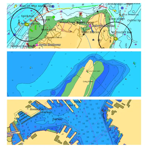
With precise layouts of numerous marinas, including slip spaces and restricted areas, docking in unfamiliar ports becomes hassle-free. Moreover, C-MAP charts can be displayed in over 140 languages, catering to regional preferences.
لم يتم العثور على أي تقييمات

